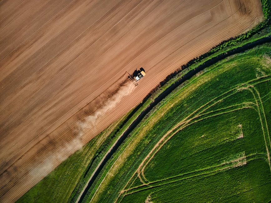
Aerial Technology Revolutionizes Farm Management in West Virginia
New Perspectives on Agricultural Development
West Virginia’s agricultural sector is experiencing a significant transformation as farmers increasingly adopt aerial technology to monitor and manage their operations. This technological shift comes at a critical time when the industry faces challenges from recent tariff changes and transportation issues.
Drone Technology Changing the Landscape
Farmers across West Virginia are discovering that aerial surveillance provides invaluable data for crop management, livestock monitoring, and land use planning. These high-tech tools offer perspectives previously unavailable to agricultural professionals.
“The aerial view gives us information we simply couldn’t access before,” explains Naima Dhore, a farm owner in Monongalia County. “We can spot irrigation issues, pest infestations, and even monitor fence lines—all from above.”
The technology allows farmers to make more informed decisions about resource allocation and identify problems before they become severe, potentially saving thousands of dollars in prevented crop losses.
Economic Implications in Changing Times
The adoption of aerial farm technology coincides with significant economic pressures on the agricultural sector. Recent tariff adjustments have created both challenges and opportunities for West Virginia farmers.
“We’re operating in a time of rapid change,” notes Dhore. “Between new trade policies and transportation challenges, farmers need every advantage they can get. Aerial monitoring gives us that edge.”
The technology’s adoption rate has accelerated as equipment costs decrease and user-friendly systems become more widely available. What was once accessible only to large corporate farms is now within reach of family operations.
Future Developments
Industry experts predict that the integration of artificial intelligence with aerial farm monitoring will further revolutionize agricultural practices. These systems could eventually provide automated analysis of crop health, soil conditions, and even predict optimal harvest times.
As West Virginia’s agricultural community continues to navigate economic uncertainties, including volatile transportation costs and changing market conditions, aerial technology represents a significant investment in future sustainability and profitability.
For farmers like Dhore, the decision to incorporate aerial monitoring has already shown tangible benefits. “It’s changed how we think about our land,” she says. “We’re making better decisions in less time, and that’s critical in today’s fast-changing agricultural landscape.”


